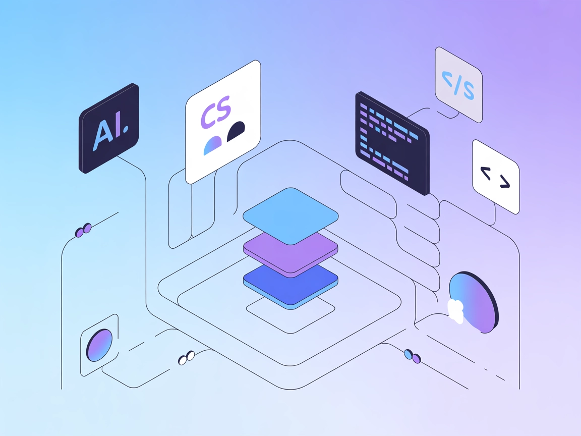
AI Agent for QGISMCP
Seamlessly connect QGIS to Claude AI using the Model Context Protocol (MCP) for advanced GIS automation. QGISMCP enables prompt-driven project creation, real-time layer management, code execution, and full two-way communication between QGIS and AI, boosting productivity and unlocking intelligent geospatial workflows.
Two-way Communication & Real-Time Project Control
Enable Claude AI to directly interact with QGIS using a secure socket-based server. Gain instant project manipulation, including creating, loading, saving projects, and managing both vector and raster layers with ease.
- Bi-directional Communication:
- Securely connect QGIS and Claude AI for seamless command and data exchange.
- Project & Layer Management:
- Create, load, and save GIS projects; add and remove vector or raster layers in real time.
- Live Code Execution:
- Run Python code directly in QGIS from Claude for on-the-fly geospatial analysis.
- Instant Processing:
- Execute processing algorithms with ease via the integrated Processing Toolbox.
Easy Plugin Installation & Integration Setup
Get started in minutes with straightforward plugin installation and configuration. Integrate the QGIS MCP plugin and MCP Server using simple steps and connect Claude AI for advanced automation.
- Quick Plugin Setup:
- Install the QGIS MCP plugin with a simple folder copy and QGIS restart.
- Flexible MCP Server:
- Leverage the Python-based MCP server for robust integration and command handling.
- Customizable Integration:
- Configure Claude AI to recognize and utilize QGIS MCP tools for tailored workflows.
Automated GIS Workflows & Advanced Processing
Unlock the full potential of QGIS by automating repetitive tasks, executing advanced algorithms, and rendering high-quality maps—all powered by Claude AI. Manage projects, layers, and geospatial data faster and smarter.
- Layer & Project Automation:
- Automate loading, saving, and editing of projects and layers with simple AI commands.
- Advanced Geospatial Processing:
- Run spatial algorithms, render maps, and extract features—all driven by Claude AI.
- Safe Code Execution:
- Execute custom PyQGIS code securely for deep customization and analysis.
MCP INTEGRATION
Available QGIS MCP Integration Tools
The following tools are available as part of the QGIS MCP integration:
- ping
Simple ping command to check server connectivity.
- get_qgis_info
Get QGIS information about the current installation.
- get_project_info
Get current project information including its properties and state.
- create_new_project
Create a new QGIS project and save it to disk.
- load_project
Load a QGIS project from the specified path.
- add_vector_layer
Add a vector layer to the current project using a file path.
- add_raster_layer
Add a raster layer to the current project using a file path.
- get_layers
Retrieve all layers in the current QGIS project.
- remove_layer
Remove a layer from the project by its ID.
- zoom_to_layer
Zoom to the extent of a specified layer in the project.
- get_layer_features
Retrieve features from a vector layer with an optional limit.
- execute_processing
Execute a processing algorithm with the given parameters.
- save_project
Save the current QGIS project to a given path.
- render_map
Render the current map view to an image file.
- execute_code
Execute arbitrary PyQGIS code provided as a string.
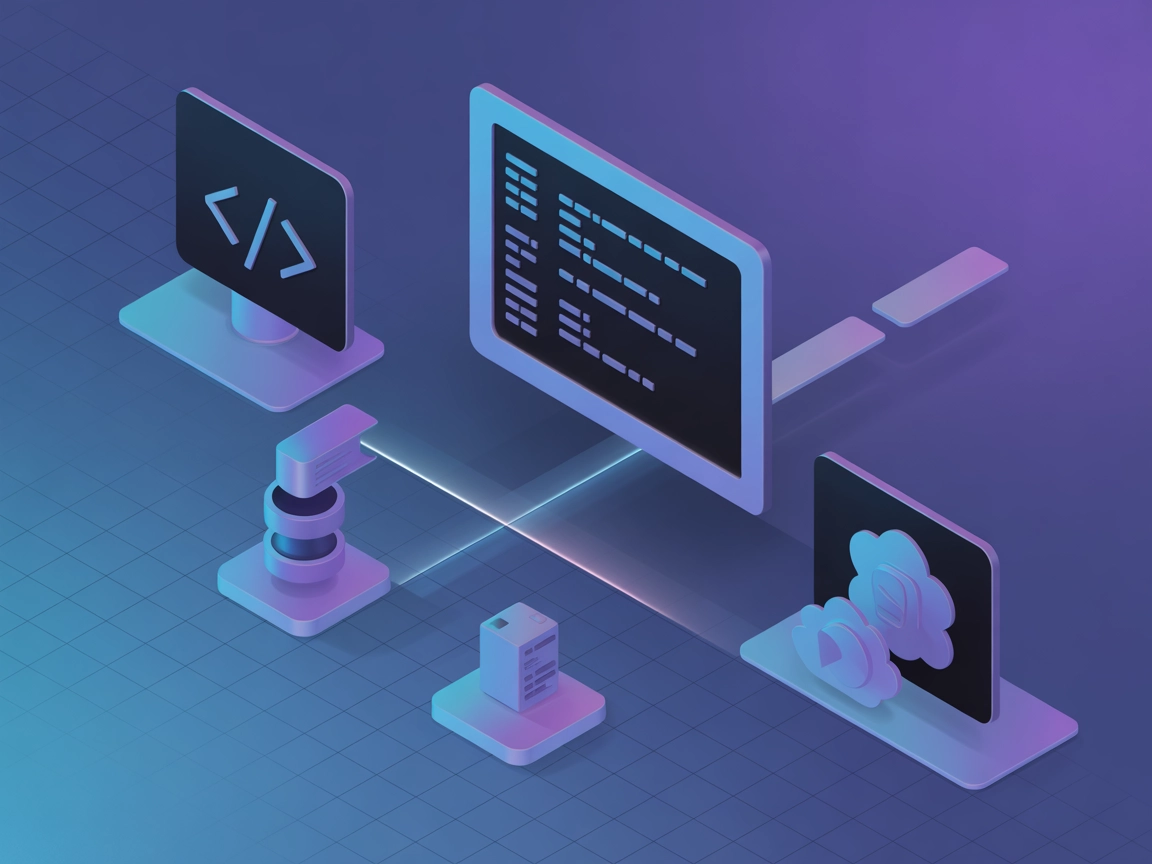
Integrate Claude AI with QGIS Instantly
Experience seamless project creation, layer management, and advanced geospatial processing by connecting Claude AI directly to QGIS using QGISMCP. See how prompt-assisted GIS workflows can transform your productivity.
What is QGISMCP
QGISMCP is an open-source integration that connects QGIS, a powerful open-source Geographic Information System (GIS) application, to Claude AI using the Model Context Protocol (MCP). Developed by jjsantos01, QGISMCP allows large language models like Claude to directly communicate with and control QGIS. This enables seamless automation and manipulation of GIS projects, layers, and data directly through AI-driven commands, making advanced geospatial analysis, map creation, and data processing accessible to both technical and non-technical users.
Capabilities
What we can do with QGISMCP
QGISMCP enables advanced interaction and automation between AI models and QGIS, unlocking a range of new possibilities for geospatial workflows. Here are some of the key things you can achieve with the service:
- Automate GIS project creation
- Instantly create new QGIS projects by issuing commands through the AI interface, streamlining project setup.
- Layer manipulation
- Add, remove, or modify map layers using natural language prompts, making data organization effortless.
- Run GIS code remotely
- Execute custom Python or QGIS scripts in real time, allowing for rapid geospatial analysis and visualization.
- Data import/export
- Easily import and export a variety of spatial data formats, enhancing interoperability and collaboration.
- Generate maps and reports
- Produce publication-ready maps and analytical reports with AI assistance, accelerating decision-making.

What is QGISMCP
AI agents can leverage QGISMCP to fully automate geospatial workflows, directly controlling QGIS for tasks such as map generation, spatial data analysis, and report creation. By using natural language commands, agents can process large datasets, produce custom visualizations, and integrate GIS capabilities into broader AI-driven solutions. This dramatically reduces manual effort and opens up advanced GIS functionality to non-specialists.